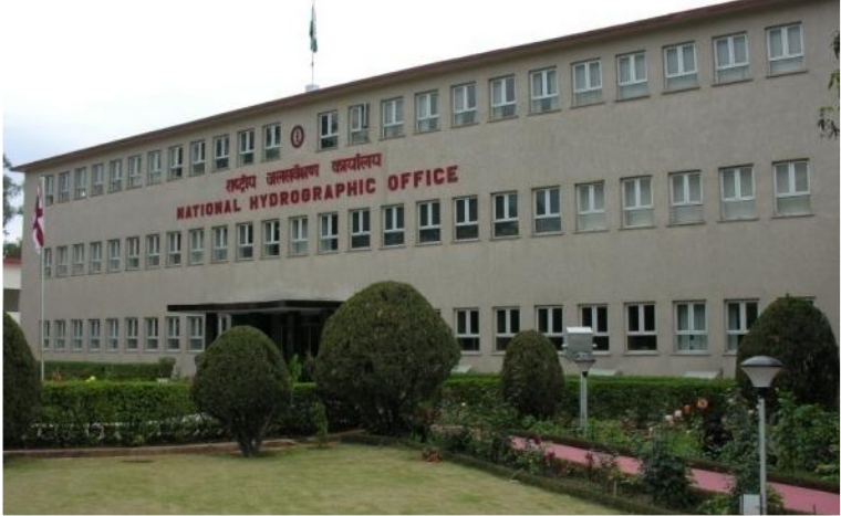
National Hydrographic Office (NHO), Dehradun
Overview
The National Hydrographic Office (NHO) is the principal hydrographic agency of India.
It functions under the Ministry of Defence, headed by the Chief Hydrographer to the Government of India, a Vice Admiral–rank officer from the Indian Navy.
It is responsible for hydrographic surveys, nautical chart publication, and maritime navigation safety in India and adjacent waters.
Historical Background
Period / Year | Development |
17th century | Origins of hydrography in India trace back to British maritime exploration. |
1703 | First chart of the Indian Ocean compiled by Thorntons of the British East India Company — a landmark in Indian nautical mapping. |
1874 | Establishment of the Indian Marine Survey Department in Calcutta (Kolkata) for systematic hydrographic surveys. |
Post-Independence (1947) | Department became part of the Royal Indian Navy, later the Indian Navy. |
1960s–70s | Modernization and nationalization of charting operations; renamed as Indian Naval Hydrographic Department (INHD). |
Later renamed | National Hydrographic Office (NHO) – to reflect its national and international responsibilities. |
Functions of the NHO
Hydrographic Surveys
Conducts surveys of India’s coastal waters, ports, harbours, and Exclusive Economic Zone (EEZ).
Supports naval operations, defence planning, and civil maritime safety.
Nautical Charting & Publications
Produces nautical charts, tide tables, sailing directions, and Notices to Mariners.
Acts as India’s National Authority for nautical chart publication under the International Hydrographic Organization (IHO).
International Role
Coordinator for Charting Area “J” in the North Indian Ocean.
NAVAREA VIII Coordinator for the Global Maritime Distress and Safety System (GMDSS).
Disseminates navigational warnings and maritime safety information for the region.
Capacity Building & Training
Provides hydrographic training to Indian and foreign naval officers.
Supports friendly foreign countries in hydrographic capacity-building under Indian Technical and Economic Cooperation (ITEC) program.
Scientific and Environmental Studies
Assists in coastal erosion studies, oceanographic mapping, and resource exploration.
Works in coordination with NIOT, INCOIS, and MoES for marine data integration.
Strategic Importance
Maritime Domain Awareness (MDA)
Hydrographic data improves operational readiness of the Indian Navy and Coast Guard.
Supports anti-submarine operations and naval planning.
Economic Significance
Enables safe navigation, reduces maritime accidents.
Essential for port development, offshore resource mapping, and blue economy.
International Diplomacy
Provides hydrographic assistance to friendly nations — a key part of India’s “Security and Growth for All in the Region (SAGAR)” policy.
India’s hydrographic expertise builds regional goodwill in Indian Ocean littoral states.
India’s Role in Global Hydrography
Aspect | Details |
International Affiliation | Member of International Hydrographic Organization (IHO) |
Regional Responsibility | Coordinator for Charting Area “J” (North Indian Ocean) |
NAVAREA Coordination | NAVAREA VIII — covers part of the Indian Ocean from Arabian Sea to Bay of Bengal |
Global Framework | Part of the World-Wide Navigational Warning Service (WWNWS) |
Partner Nations | Mauritius, Seychelles, Maldives, Sri Lanka, Myanmar, Oman (for hydrographic support) |
Recent Developments
Commissioning of SVL-class ships (Sandhayak, Nirdeshak, Ikshak, Sanshodhak) enhances India’s survey capabilities.
Digital transition: NHO now produces electronic navigational charts (ENCs) for E-navigation.
Partnership with National Institute of Ocean Technology (NIOT) and INCOIS for integrated oceanographic data.
India has offered hydrographic support agreements to Maldives, Seychelles, and Mauritius.
Prelims Practice MCQs
Q. Consider the following statements regarding the National Hydrographic Office (NHO):
It functions under the Ministry of Earth Sciences.
It is responsible for the publication of official nautical charts of India.
Its headquarters are located in Dehradun, Uttarakhand.
Which of the statements given above is/are correct?
A. 1 and 2 only
B. 2 and 3 only
C. 1 and 3 only
D. 1, 2 and 3
✅ Answer: B. 2 and 3 only
Explanation:
NHO functions under the Ministry of Defence, not the MoES.
It is the national authority for publishing nautical charts and hydrographic data.
Headquartered in Dehradun, Uttarakhand.
Q. With reference to the Chief Hydrographer to the Government of India, consider the following statements:
The Chief Hydrographer is always an officer from the Indian Navy.
The office coordinates charting of the North Indian Ocean’s Area “J”.
The Chief Hydrographer also serves as the NAVAREA VIII coordinator under the International Hydrographic Organization (IHO).
Which of the statements given above is/are correct?
A. 1 and 3 only
B. 2 and 3 only
C. 1, 2 and 3
D. 1 only
✅ Answer: C. 1, 2 and 3
Explanation:
All three are correct — the Chief Hydrographer (Vice Admiral, Indian Navy) coordinates Area “J” and NAVAREA VIII activities under the IHO and IMO frameworks.
Q. The term NAVAREA VIII, sometimes seen in news, refers to:
A. A United Nations maritime zone in the Pacific Ocean.
B. A navigational warning area under the World-Wide Navigational Warning Service (WWNWS).
C. A coastal defense zone under the Indian Navy.
D. A network of ocean observation satellites managed by INCOIS.
✅ Answer: B.
Explanation:
NAVAREA VIII is a maritime safety information region under the World-Wide Navigational Warning Service (WWNWS) coordinated by the International Hydrographic Organization (IHO) and IMO.
India’s National Hydrographic Office coordinates it for the North Indian Ocean region.